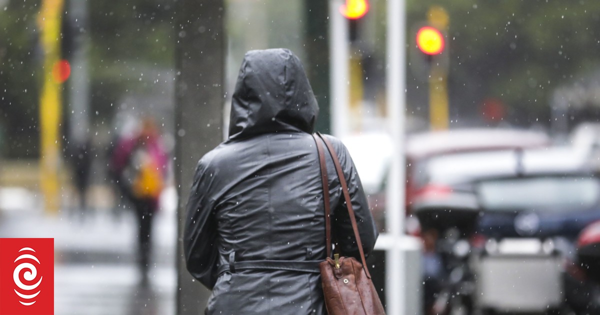
MetService has issued heavy rain warnings for a number of North and South Island places over the next day or two.
Photo: RNZ / Rebekah Parsons-King
MetService has issued heavy rain warnings for the top of the South Island.
The orange-level MetService warnings cover Marlborough north-west of the Richmond Range and Nelson east of Nelson city until midnight Wednesday, with up to 100 millimetres of rain expected to fall and the chance of thunderstorms.
There is also an orange level warning in place for Tasman District west of Motueka where up to 150mm of rain is forecast up until 10pm on Wednesday, with possible thunderstorms.
There are also heavy rain watches in place for Fiordland north of Breaksea Sound and the Buller, Grey and Westland districts between Karamea and Harihari.
A heavy snow watch has been issued for Canterbury but is likely to be upgraded to a warning.
MetService meteorologist Mmathapelo Makgabutlane said the system would bring quite a lot of rain, especially from Wednesday into Thursday.
She said a low-pressure system was moving towards the country from the Tasman Sea, resulting in snowfall in inland parts of the South Island.
“This week will bring a shift to colder weather, snowfall and rain,” she said.
“As we head towards the latter part of this week, we will see that wind flow coming more from the south and southwest, so that’ll be bringing much cooler air over the country and snowfall to lower levels as well.”
Makgabutlane said the snow would be welcome news for southern ski fields.
“It is looking like a good snow event and so any of that snow that does reach those ski fields will definitely be adding to that,” she said.
People travelling in the snow should be wary of the conditions, Makgabutlane said.
“If people are planning on travelling on those elevated roads, do keep an eye out, because the snow could be affecting some of those road conditions,” she said.
Makgabutlane urged those in areas with warnings and watches to keep checking the forecast.

A map indicating MetService weather warnings and weather watches in place at 1.30pm on Tuesday.
Photo: Screenshot / MetService
Earlier on Tuesday, Meteorologist John Law told Morning Report the weather this week would kick off the winter to come.
“The combination of that cold air pushing up the country and that moisture will mean the return of some wintry weather over the tops of the Canterbury high country.
“So those are the regions first off that will find that snow weather.
“But by the time we head towards Friday and the weekend, I think all of us will find our temperatures are well and truly colder than it has been,” he said.
Law said the weather in the coming weeks would be a “pretty good taste” of our coming winter.
He added the Canterbury region could see snow fall down to 300 metres.
“On Wednesday another weather front moves in from the North… that brings with it some wet and windy weather,” Law said.
In the North Island, the Auckland region is under a strong wind watch. Emergency management is advising Auckland residents to keep up to date with weather conditions, as heavy rain is also expected from 4pm Wednesday.
The Tararua Range is under a heavy rain warning with up to 150mm of rain forecast up until 11pm on Wednesday.
A heavy rain warning is also in place for Bay of Plenty east of Whakatāne and inland Gisborne/Tairawhiti overnight on Wednesday.
South Island hit by bad weather in May
The South Island had already been hit by bad weather in May, including flash flooding in Nelson without any watches or warnings in place for the region.
Torrential rainfall in Christchurch and Banks Peninsula last month resulted in millions of dollars worth of damage to roads.
Christchurch City Council head of transport Lynette Ellis said costs to repair the damage could lie between $12-18 million, depending on investigations into a slip on Lighthouse Road in Akaroa.
“On the whole, the damage related to flooding of roads, slips and washouts. The majority of the damage was concentrated in the Banks Peninsula ward,” she said.
NZTA said the rain storm met its criteria for funding support to share repair costs – at least 51 percent – although the arrangement was still being formalised.
Sign up for Ngā Pitopito Kōrero, a daily newsletter curated by our editors and delivered straight to your inbox every weekday.
